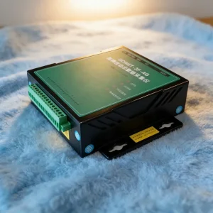

1 / 5
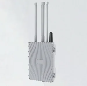
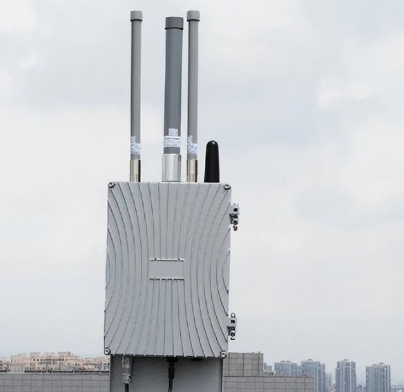
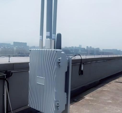
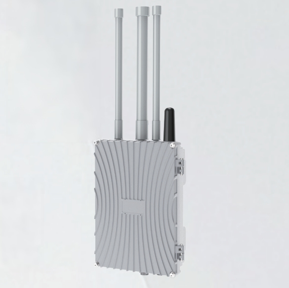
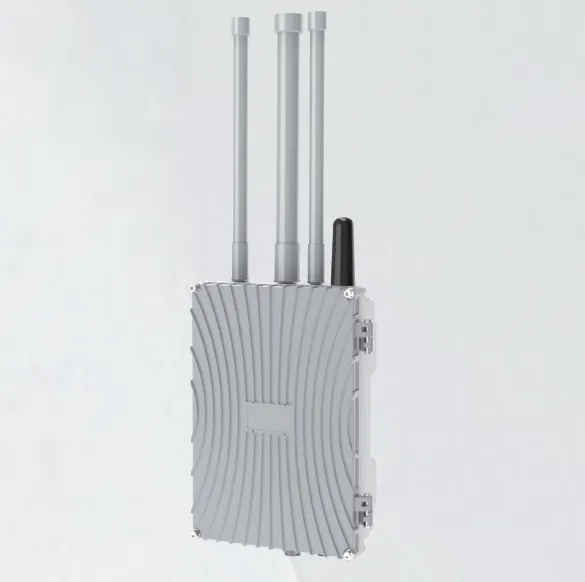
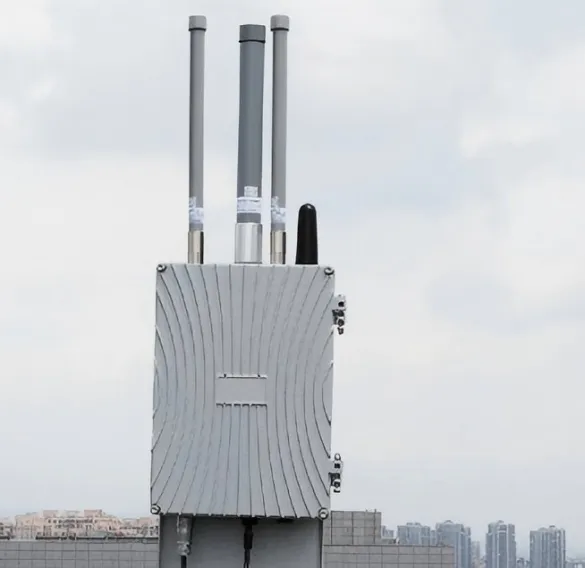
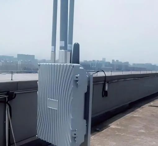
This product is a high-performance, stationary Remote Identification and Monitoring System designed for the real-time reception, decoding, and display of flight information from Unmanned Aerial Systems (UAS) and their operators. Leveraging integrated multi-band antennas and intelligent algorithms, it provides reliable airspace awareness in complex urban electromagnetic environments. Its robust, IP66-rated enclosure and versatile installation options make it an ideal solution for permanent deployment on structures like communication towers.
Immediate data on UAS position, altitude, speed, and the real-time location of the pilot.
Simultaneous tracking of numerous targets (≥50 UAS) with detailed trajectory mapping.
Engineered for dense urban settings with significant signal congestion from Wi-Fi and cell towers.
Supports wired networks, 4G, and 5G connections for seamless platform integration.
| Parameter Category | Specification |
|---|---|
| Detection Angle | Horizontal: 360°, Vertical: -90° to +90° |
| Monitoring Radius | Urban: 1.5 - 2 km / Open Environment: 2 - 3 km |
| Target Capacity | Simultaneously tracks ≥50 UAS and operators |
| Data Refresh Rate | ≤ 1 second |
| Power Consumption | Maximum ≤ 10W |
| Protection Rating | IP66 (Dust-tight and water-jet proof) |
| Dimensions | 231mm (W) × 135mm (D) × 321mm (H) |
| Power Input | 220V AC or 48V DC |
Summary: This system offers a powerful, reliable, and easy-to-deploy solution for continuous airspace monitoring. Its ability to provide real-time, actionable data on UAS activity makes it a critical tool for enhancing safety and management in urban and industrial airspace, supporting applications in critical infrastructure protection and event safety.